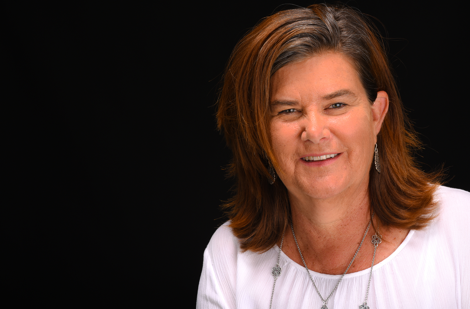
Katherine Ottmers
Las Vegas, N.M. – New Mexico Highlands University environmental science management graduate student Katherine Ottmers will be using drones to conduct innovative New Mexico wetlands research, thanks to a scholarship from the New Mexico Geographic Information Council.
This is the first known time that drones, unmanned aerial systems, will be used to monitor wetlands in New Mexico. The New Mexico Environment Department invited Ottmers to submit a proposal to develop drone-based wetlands monitoring, with Playa Lakes in Southeast New Mexico one possible research site. Ottmers is awaiting news on her Environmental Protection Agency grant proposal to further support her research.
“My overall research goal is to provide timely and accessible wetlands data in 3D drone technology to natural resources decision makers on public and private properties,” Ottmers said. “In New Mexico, this approach could help resource-stretched agencies do more frequent monitoring of wetlands.
“With drone mapping, scientists and nonscientists alike can understand the data in a more dynamic visual way, facilitating shared decision making. One outcome of my research is to automate the drone data management and analysis work flows, and then teach a workshop to support using this technology on a wider basis in natural resources management,” Ottmers said.
Ottmers said using 3D modeling for wetlands will facilitate adaptive management.
“Adaptive management is an ongoing practice which requires continues feedback from monitoring and decision making,” Ottmers said.
Ottmers said she expects drones in wetlands research will lower costs due to increased efficiencies in both field and analysis time as well as result in higher quality spatial data.
Ottmers calls herself a nontraditional student who has worked for decades in land management for production lands such as farms, ranches, and recreational properties.
“I came to Highlands to gain scientific credentials in natural resources management and have had an excellent experience, including professors supporting me and introducing me to resources, equipment and networking. Forestry professor Kyle Rose has been incredibly instrumental in my development as a research scientist and Joe Zebrowski inspires me with the GIS, geographic information systems, program we have at Highlands,” Ottmers said.
Rose is Ottmers’ research adviser and is helping her access a drone for her project.
“Katherine is exceptionally curious and as she grows as a scientist, she is improving her ability to find answers to the questions she poses,” Rose said. “Katherine cares deeply about sustainable natural resources management. Because of this, her questions invariably relate to problems faced by farmers and other land managers.”
Rose said he is confident in Ottmers’ ability to have positive impacts upon natural resources management in New Mexico.
Joe Zebrowski is the geospatial technology director at Highlands and Ottmers’ GIS mentor for the wetlands research project.
“Katherine’s background in education and sustainable agriculture brings a fresh perspective to her research,” Zebrowski said. “Her wetlands drone project will also bolster Highlands University’s drone data collection capabilities and knowledge base.”
Ottmers said her professional goal upon completing her master’s degree at Highlands is to “bring 3D data and maps to communities, supporting the citizen science movement.”

